This is Part 3 of Our Bikes and the Trails We Ride On as if you didn’t know that already. This part covers the two trails we have ridden on located in and near Brooksville, Florida.
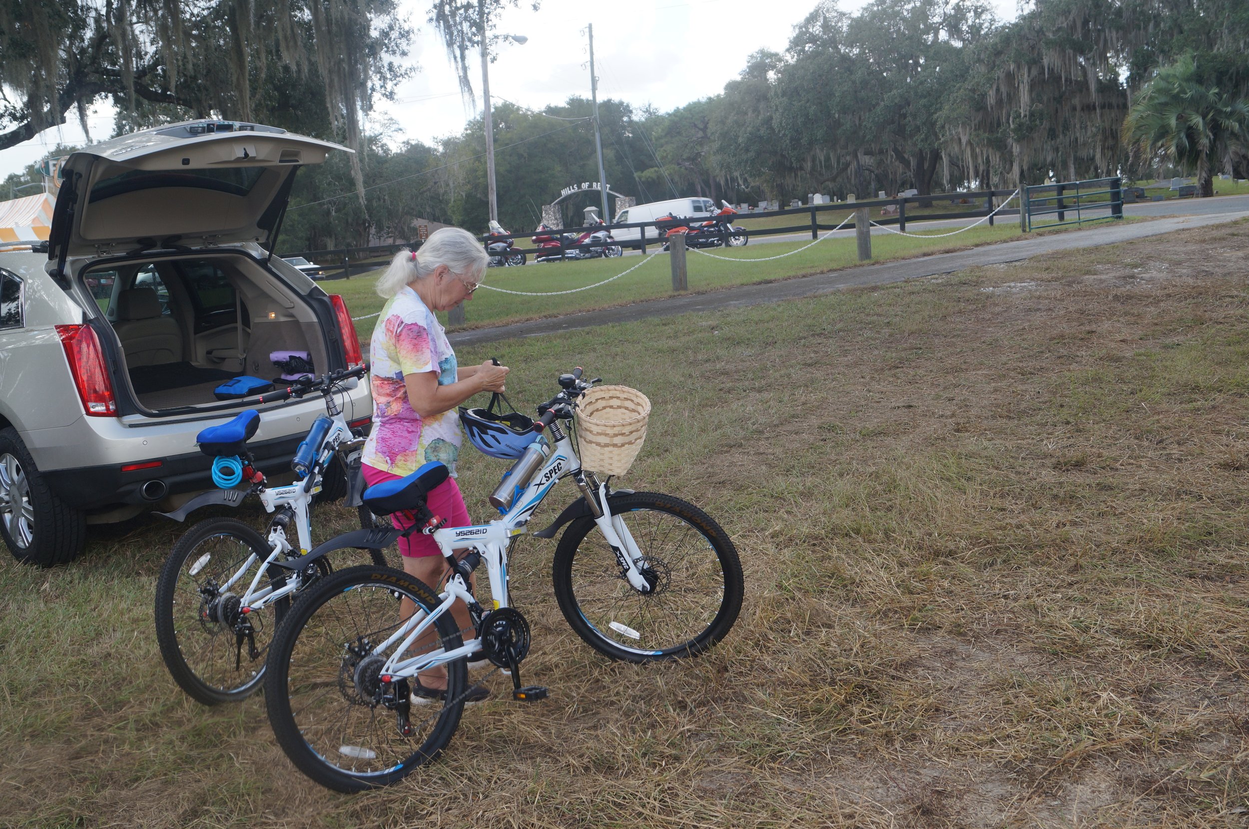
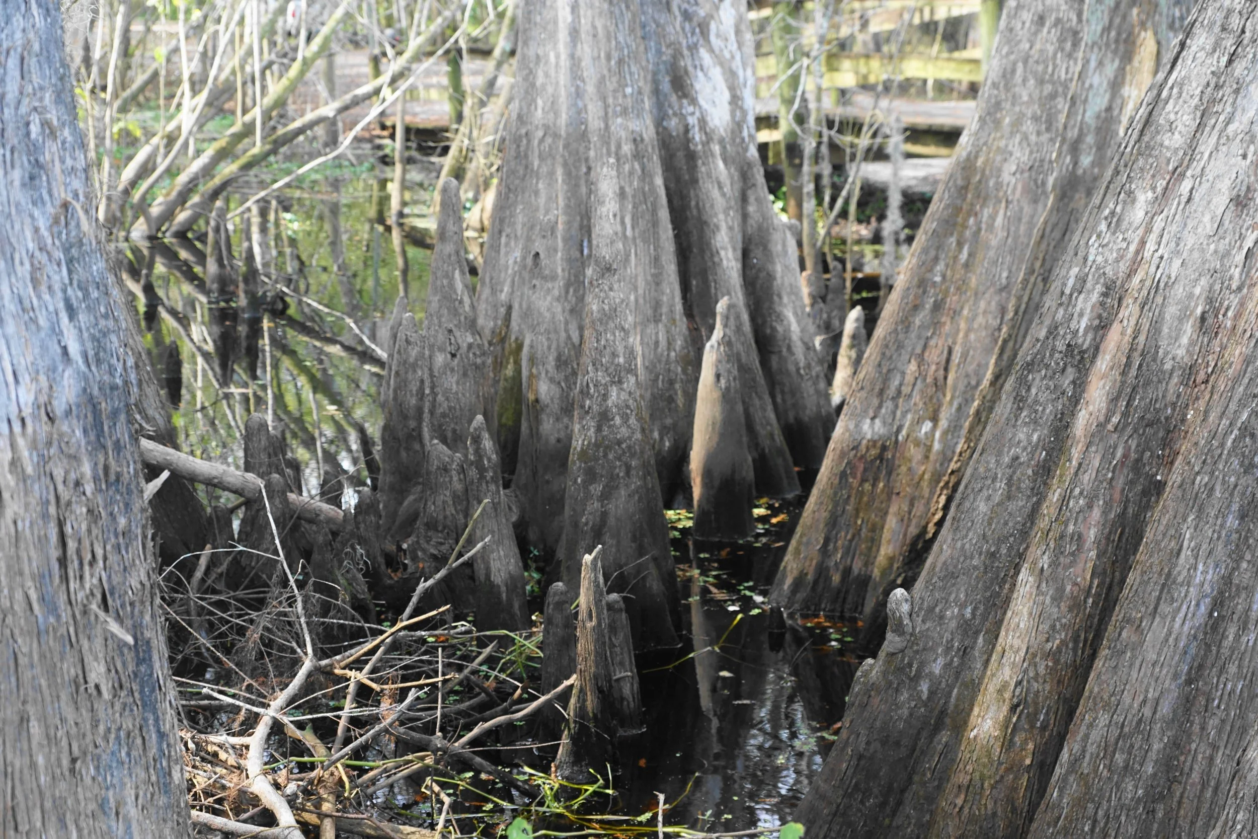
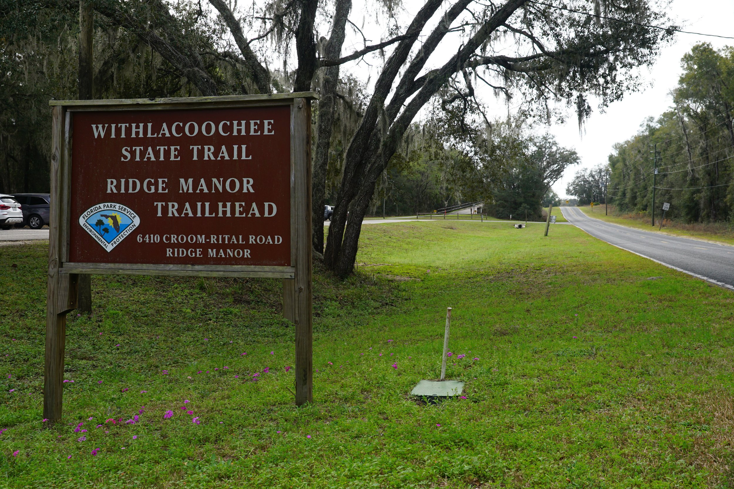
The first is the Good Neighbor Trail. It is another rail-to-trail bike path. We have been on it only once. One end is located in Brooksville at the intersection of South Main and Russell Street, in Russell Street Park. The other end is at the end of Croom Road at the intersection of the Withlacoochee Trail. We have been at this intersection many times. The Good Neighbor Trail is an important link in the Florida Coast To Coast Trail. It is 10.1 miles long. Diane and I have ridden eight miles (16 miles round trip) on it from Russell Park to somewhere I don’t remember. It crosses many streets, and in places, it is quite hilly. I wouldn’t mind taking another trip on it again before this season is over for us. These pictures were taken in Russell Park. It was once a train station.


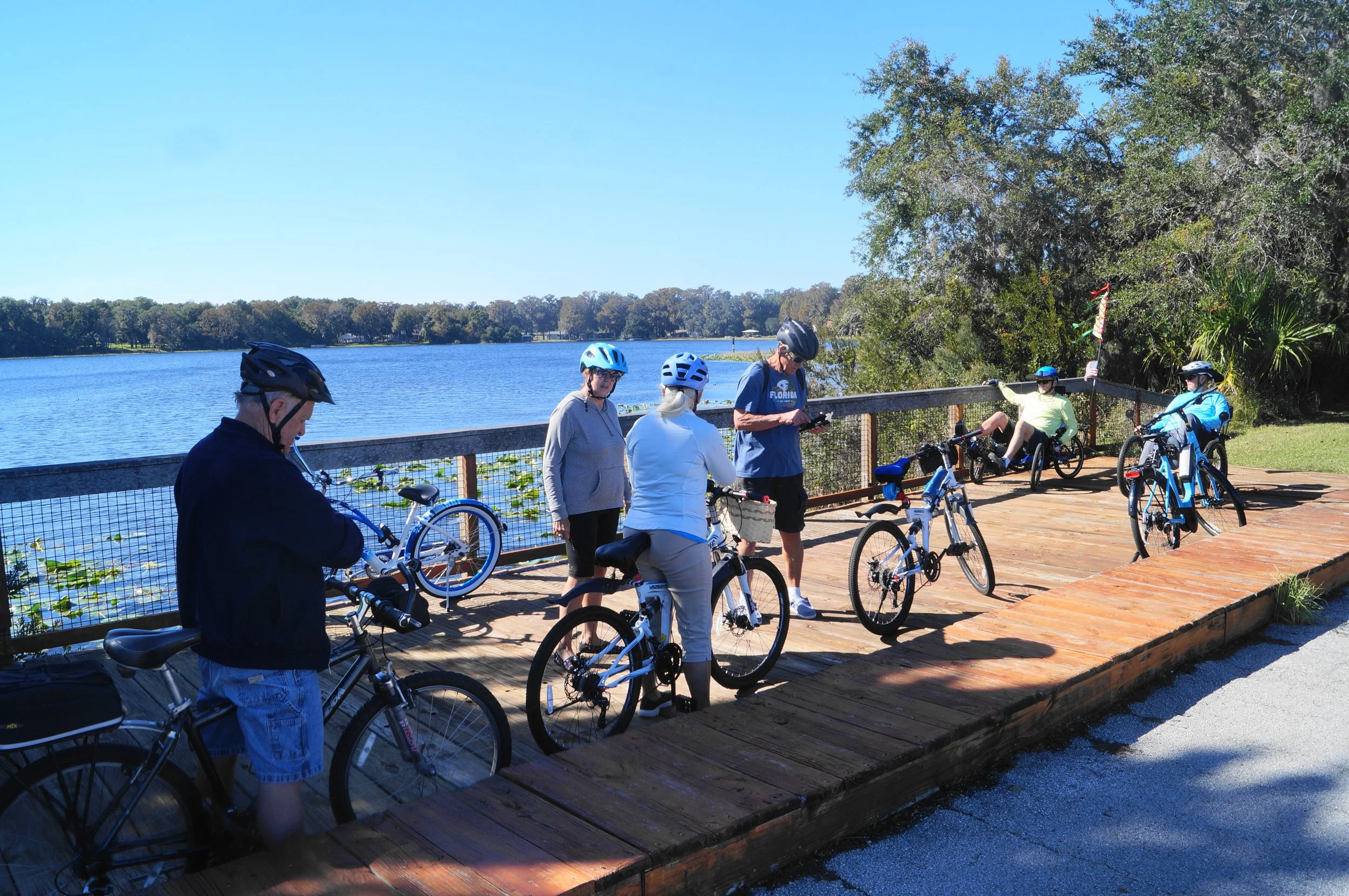
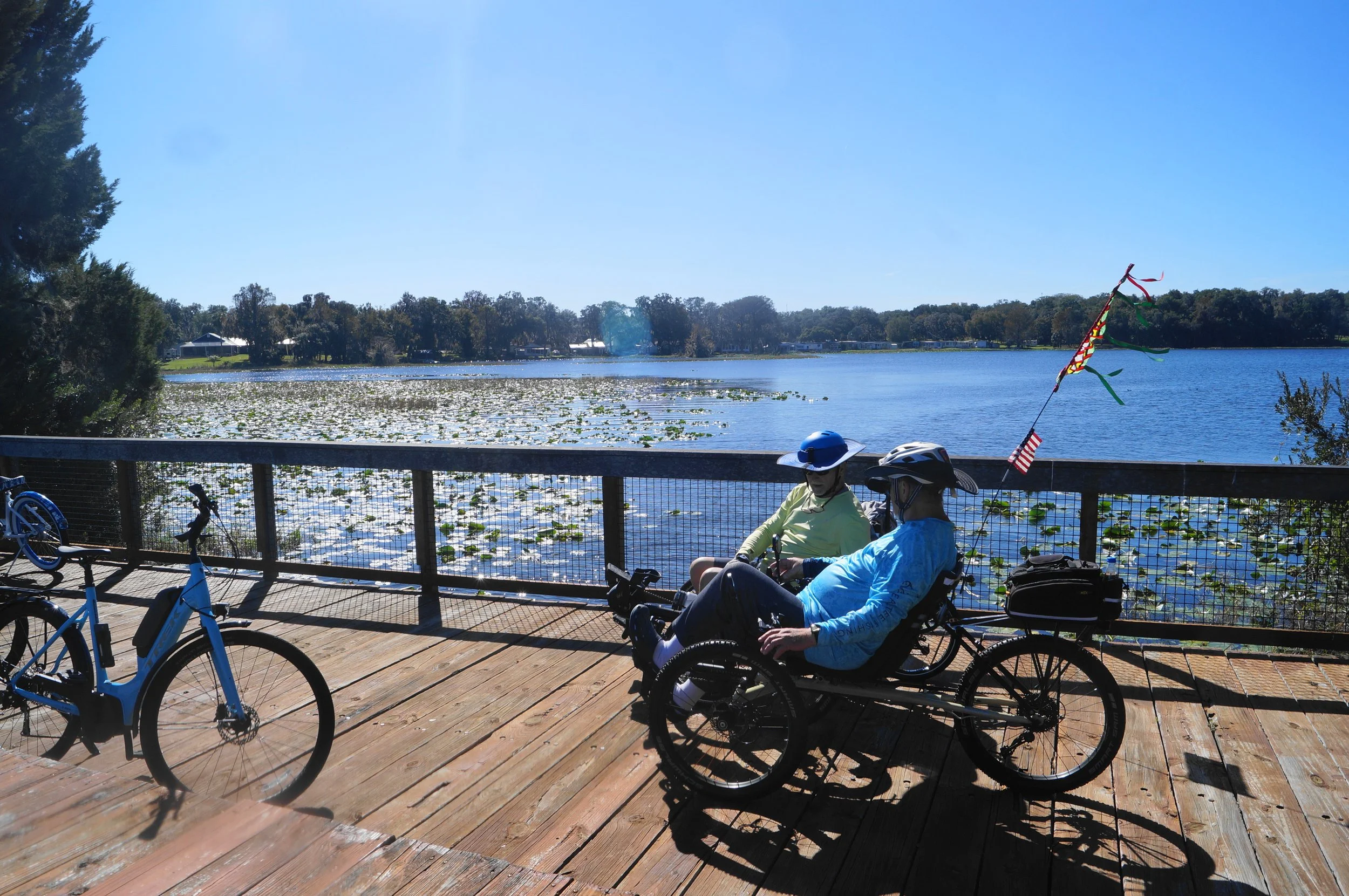
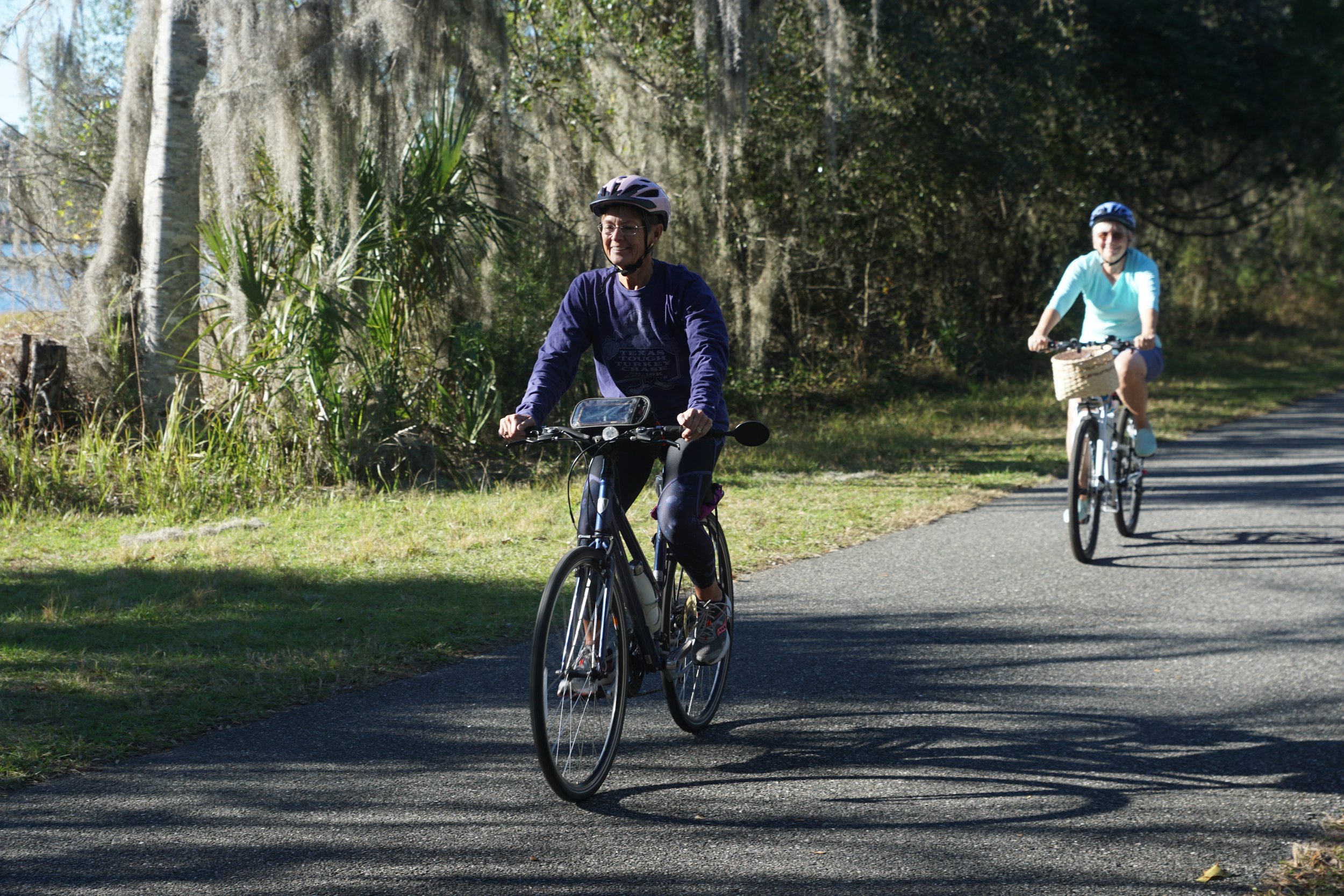
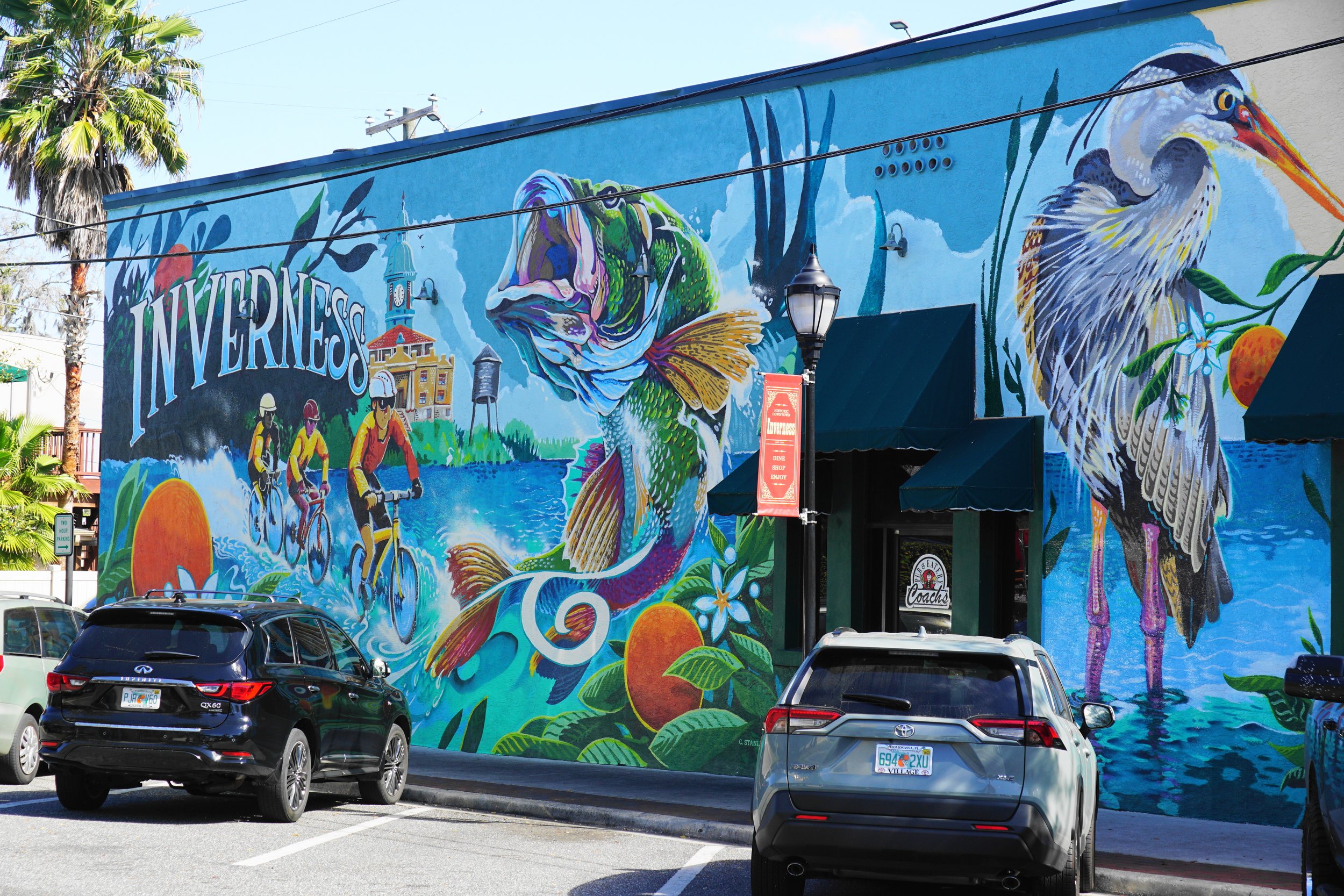
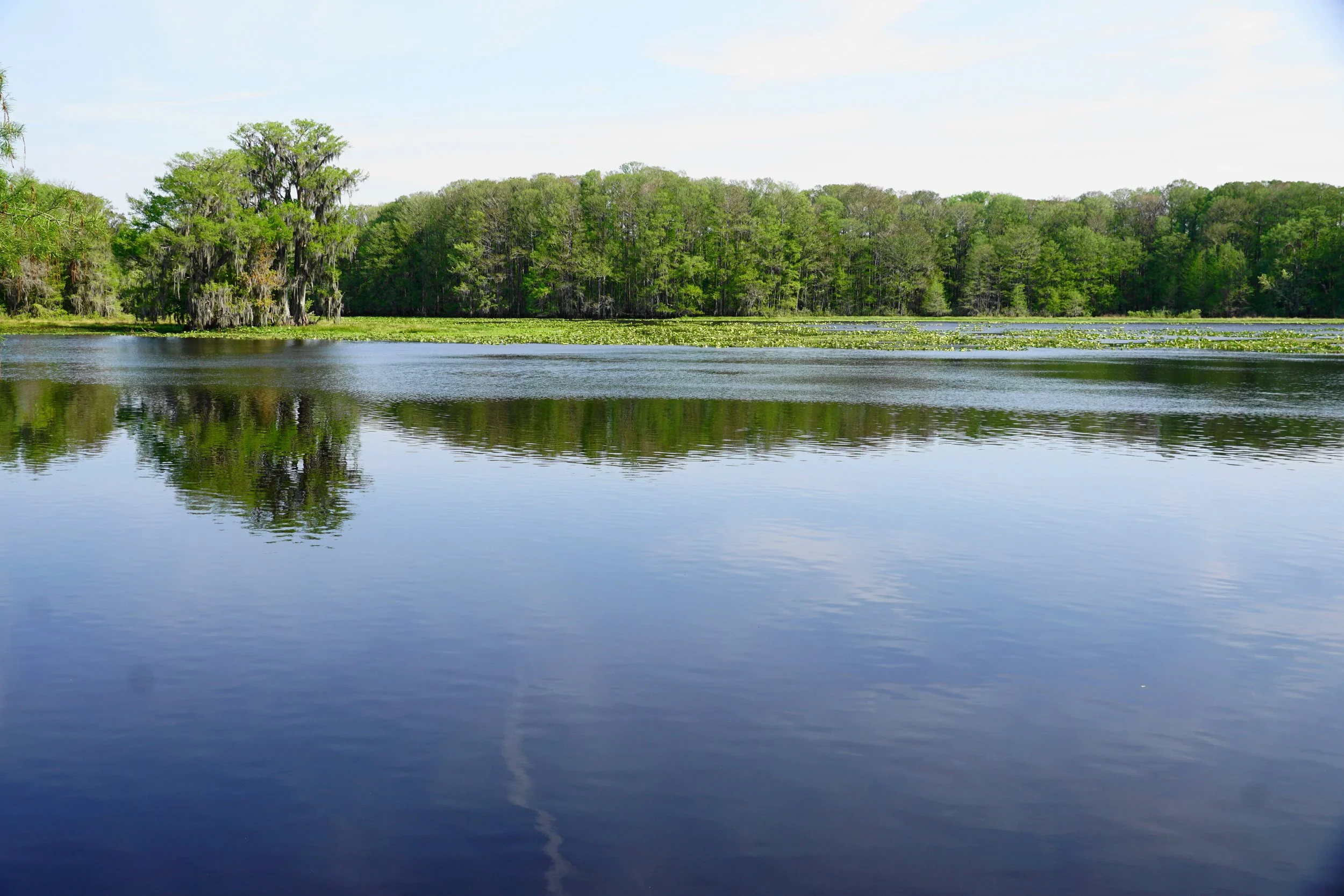
I don’t have a lot to say about the Good Neighbor Trail. The Withlacoochee Bike Trail is a different matter altogether. It is 46 miles long, a totally paved trail, not made of packed dirt, gravel, and coal dust like the New River Trail. Our favorite sections are from Floral City and either north to Inverness or South to Lake Townsend Park and the Lake Townsend Fishing Pier. We have also kayaked on Lake Townsend. Both North and South from Floral City are nice rides with plenty of shade on a hot sunny day. The ride to Inverness can be crowded on the weekends, more than any other section we have been on. Inverness is a nice little town with bike shops, gift shops, and some very good places to eat. The ride to Lake Townsend is quiet, and rural, with one food truck along the way right next to the trail.
These are a few pictures of the trail from Floral City to Inverness.


Before I travel down the sections and post more pictures, I would like to say a few words about trail riding etiquette. Etiquette is the practices and forms prescribed by social convention or by authority. Notice the last two words, by authority, I want to add two words: TRAIL SAFETY. The Withlacoochee Trail Flyers, which are not as available along the trail as I would like to find them, have a list of practices that should be followed.
Many of those practices are very necessary to follow for the safety of everyone on the trail.
Stay to the right except when passing. Very good advice, read rule two and you will find out why.
Pass slower traffic on their left, and yield to oncoming riders. This refers to passing people going in the same direction that you are traveling. In other words, riders should travel in a single file unless passing another rider. This is critical when passing bikers going in the opposite direction. The paved surface of the trail (like any road, there should be shoulders) is just wide enough for 3 standard bicycles to ride side by side, which would not be all that safe. A recumbent tricycle is as wide as two standard bikes. If a bike is riding alongside a recumbent trike and they pass someone without moving into a single file, an accident could be waiting to happen. Diane was driven off the trail by a biker riding very fast next to a recumbent bike, she was far over the middle of the trail, in Diane’s lane. The riders were arguing with each other and not looking ahead. Diane had no choice but to move hard right off the trail. This may not seem like such a terrible thing, but there are roots, holes, and other hazards covered with leaves, that could cause someone to lose control of their bike. Two recumbent trikes riding side by side is rare but it happens, they don’t give passing riders much room at all to maneuver. During our last time on the trail, a biker was riding next to a recumbent. She was in my lane and gave me an advance look that said she was not going to yield an inch. I yelled “SINGLE FILE!” as they went by. I couldn’t help myself as I was avoiding peddling through the leaves next to the trail at the time.
Give a clear warning signal when passing. Following this rule seems to be no problem for almost all riders we have encountered on the New River Trail. For riders on the Withlacoochee? Too many don’t bother with it at all. The road racing bikers are the worst. They fly by without a word or a signal from a bell. Sometimes I hear them come up behind me and I announce to Diane, who is always in front, that someone is “passing on the left” but too many times I don’t hear them at all, especially if the trail is running next to a road and there is traffic. How hard is it to say “Passing on the left”? and adding the number of bikes in a group, like “Four passing on the left!” Many riders are flying down the trail, some breaking the 20mph speed limit and they don’t make a sound that is noticeable until right next to me. If either Diane or I were to move to our left, the result could be a crash. No one wants that.
Always look ahead and behind when passing. Reread rule 2 if you wonder why this is a good rule to follow.
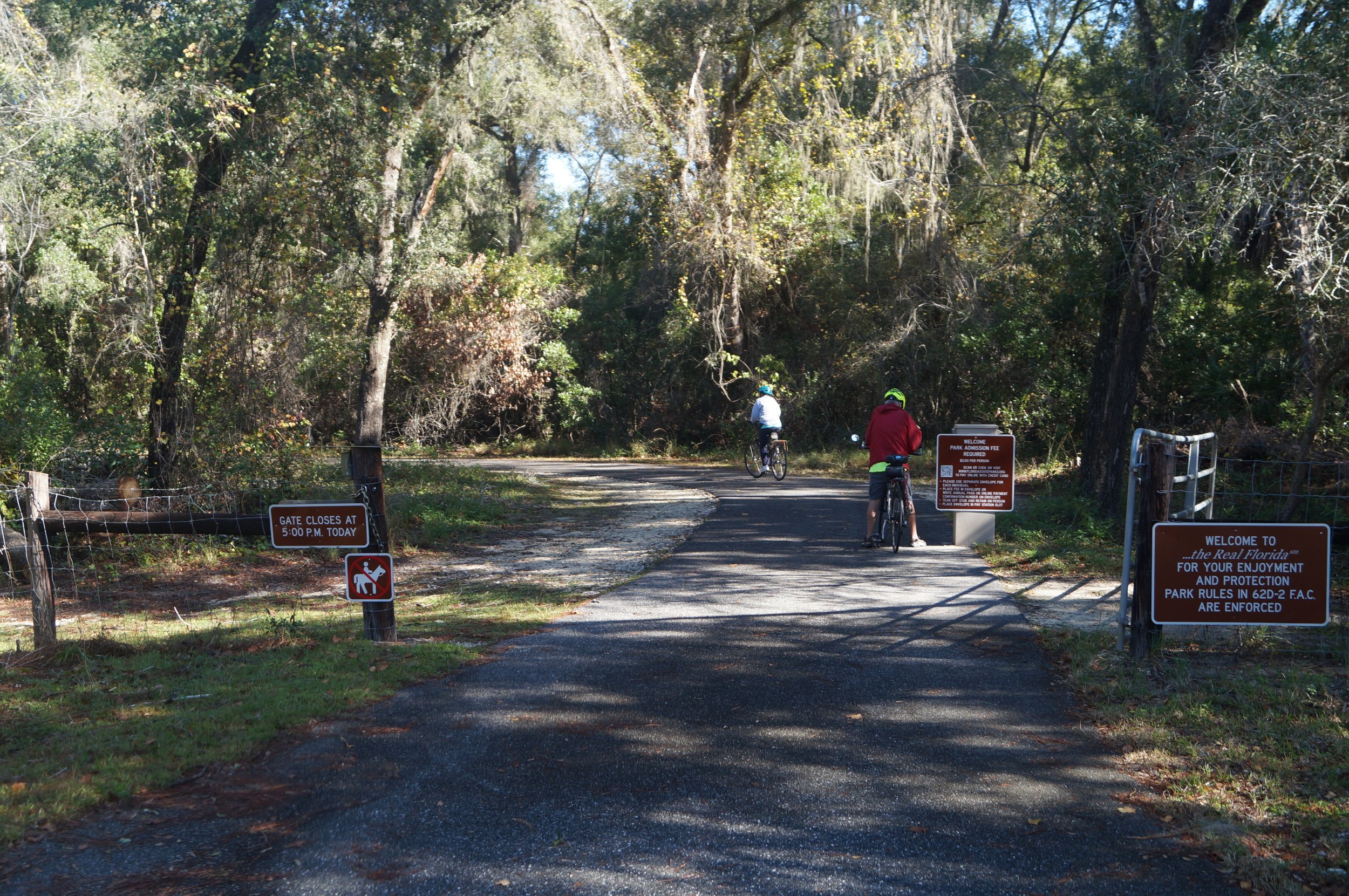
There are other simple rules. Like being careful at crosswalks, never assume that cars are going to yield to you even when they have a warning or stop light. Yield to other riders when entering or leaving the trail. And if you stop on the trail, move your bike off of it. We ran up behind a recumbent trike that stopped to take a picture of a gopher turtle. The rider was on the bike and didn’t move off the trail. We had to stop and let riders coming from the other way, have room to pass us.
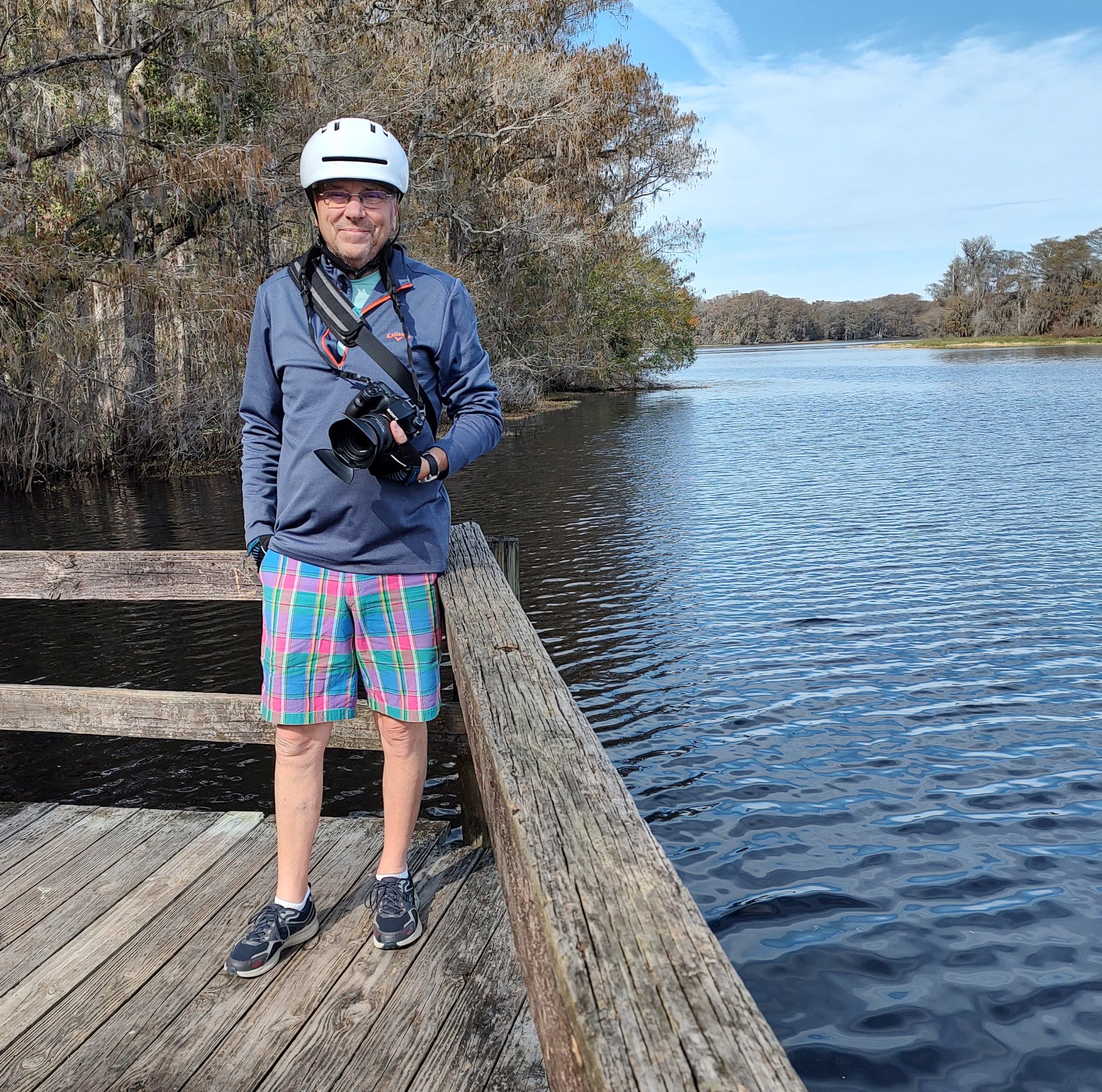
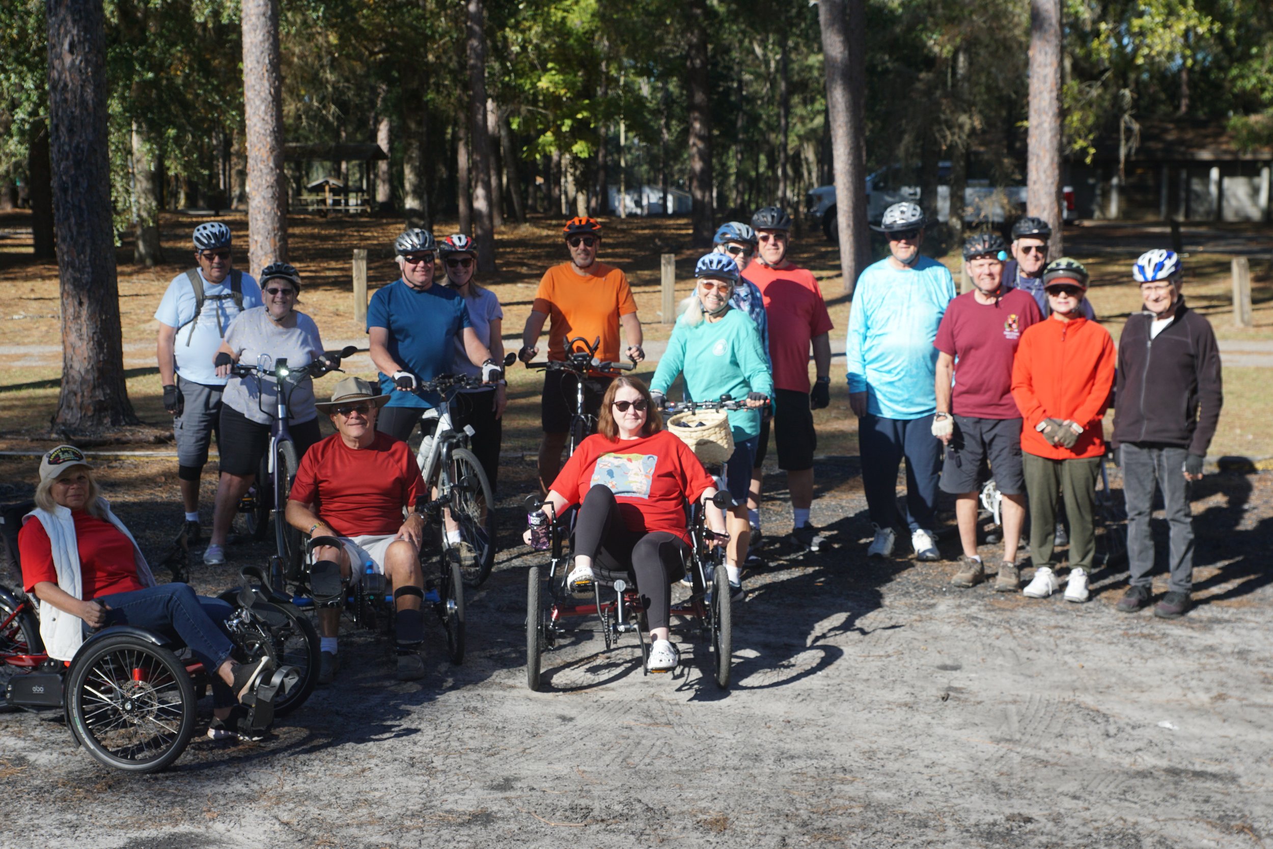
Diane and I really enjoy riding the Withlacoochee, or the With Trail as we call it. As I said it is 46 miles long and runs from Citrus Springs to Owensboro. It is mostly flat, notice I said mostly. There are mile markers, which are good to recognize if there is an emergency. We saw one of those, a man who had a heart attack on the trail. I suspect that the people helping him used the nearest mile marker to direct the first responders to their location. Two parks off the trail offer riders a chance to bike through the woods on rugged dirt trails. They are located at Croom Mountain and Fort Cooper. We ride over trestles, alongside beautiful lakes, get the chance to explore small, quaint towns, and eat somewhere good. We also see wildlife like gopher turtles, large black snakes, and other critters. I have been lucky enough to shoot one or two of those critters with my Sony.
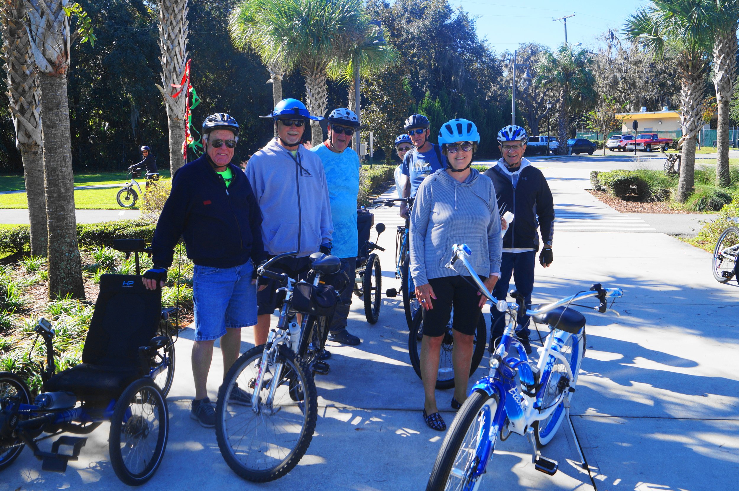
The With is also a great trail for group rides as you can see here:


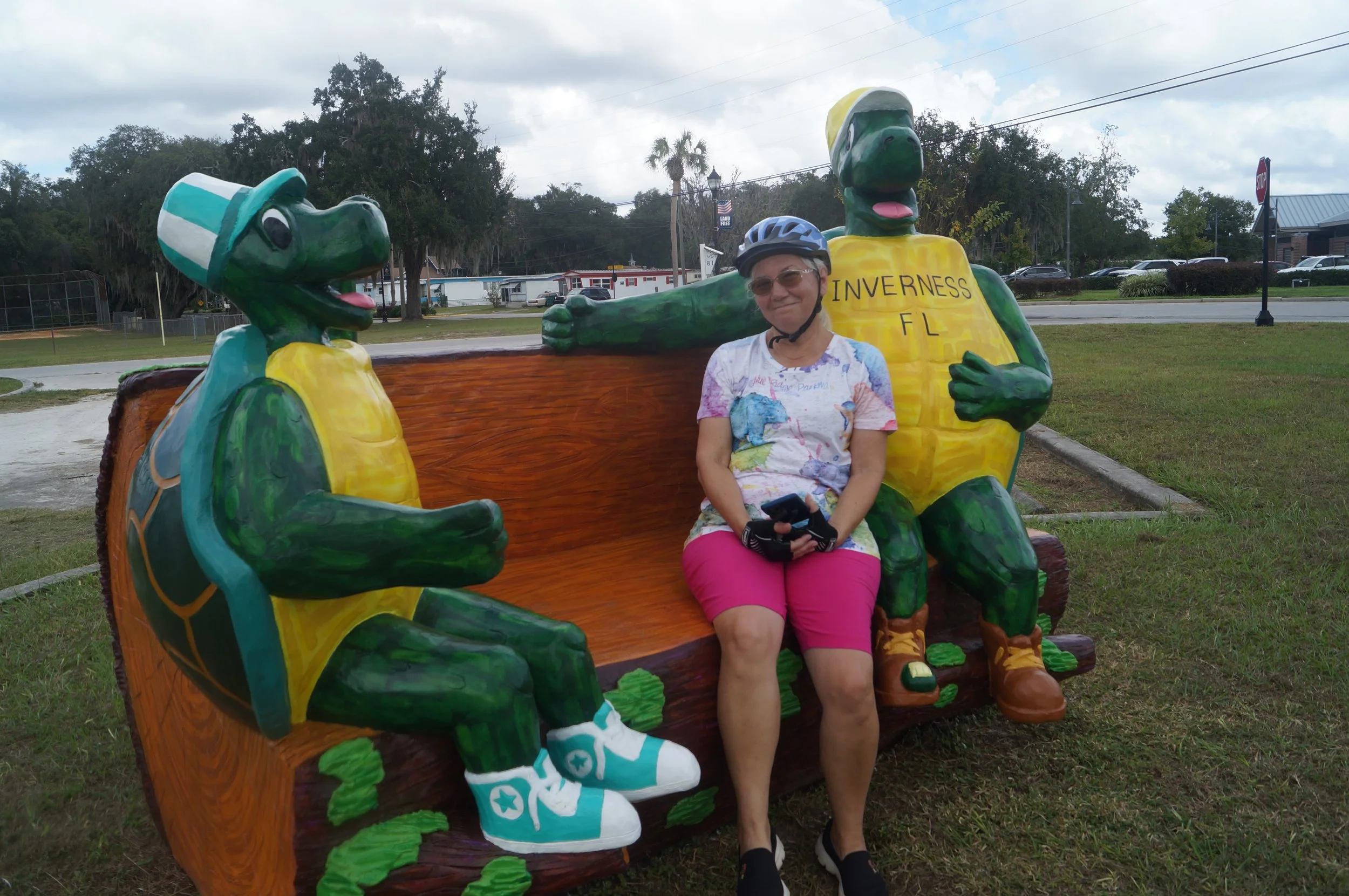
We really like Inverness. It is a pretty little town with good restaurants, a nice park, and a Trek Store. I don’t own one but many folks in Belle Parc do and it’s an interesting place to take a break and do a bit of window shopping. That includes looking at the 9800 dollars electric Trek that is on display. Wow. I turned down the offer to take it for a test ride.
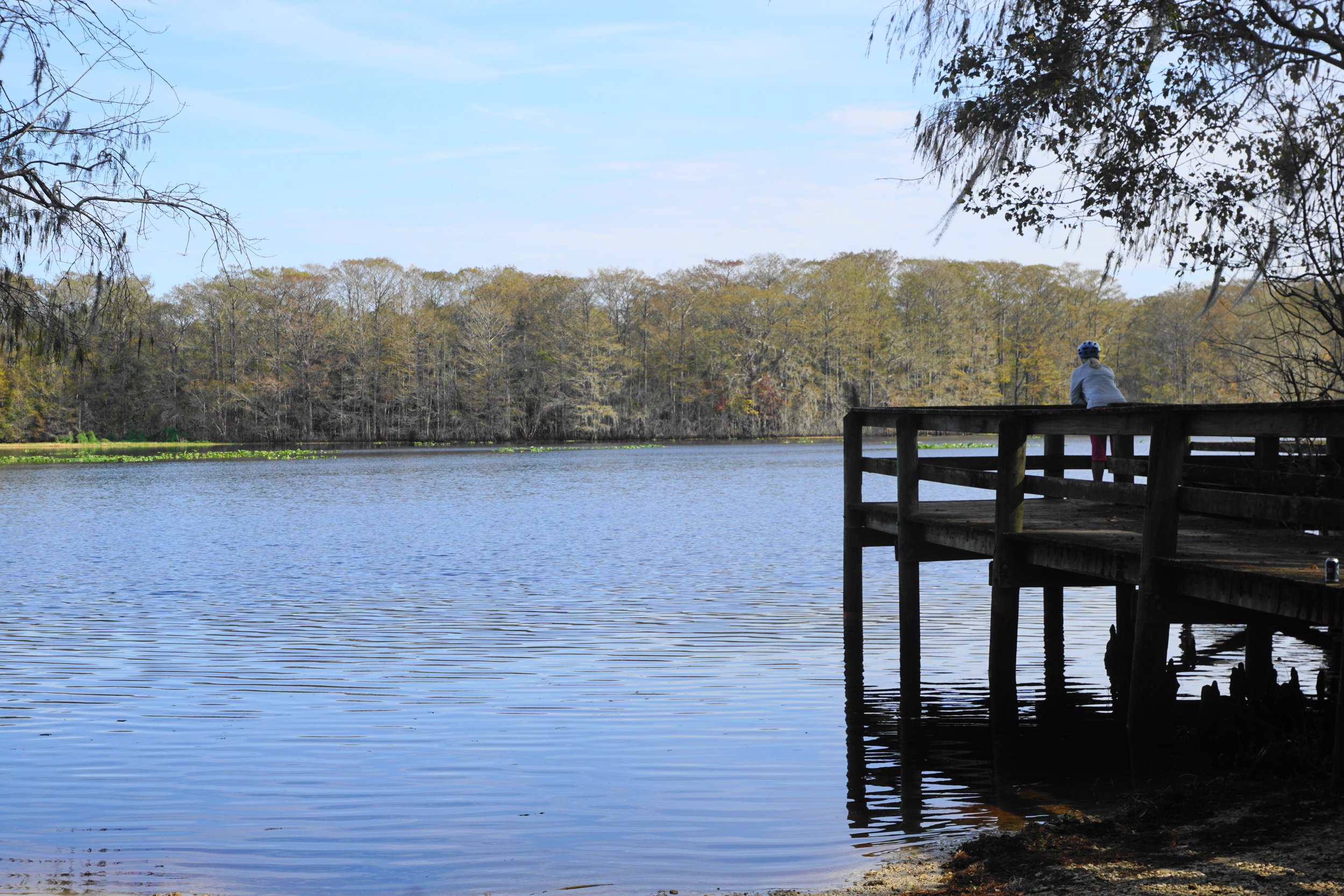
Before I post my thoughts about Inverness, here are some pictures of one of our trips from Floral City to Lake Townsend.


My next gallery of pictures is of our first bike rides of 2023, a couple of beautiful January trips from Floral City to Inverness. One of those trips we made with our good friends Jim and Paula.
It was on this ride that we saw the poor man down on the trail receiving CPR. We heard a siren off in the distance as we rode past. He had plenty of help so the best the four of us could do was pray for him. Just after we arrived back at the Floral City trailhead and packed up our bikes, a Hernando County Deputy pulled up in a jeep. He got out and helped a woman who was his passenger into her car and loaded her folding E-bike in the back. He handled it like it weighed about ten pounds. She had been leaning over the poor man. I thought she was probably heading to the hospital. If the man had died I don’t think she would have driven herself anywhere. We hope that he made a full recovery.
We packed up our bikes, Paula and Jim put their Treks on their rack and we headed over to the Shamrock Bar and Grill for dinner. They have very good Reubens, big fat ones, and local craft beer on tap. The Shamrock has an old comfortable feel about it. I like it.


I did say that the WRT is a great place for group rides, didn’t I? Groups start out together and end together but they tend to split apart during the ride, that has been our experience. Maybe that is because I stop to take pictures?


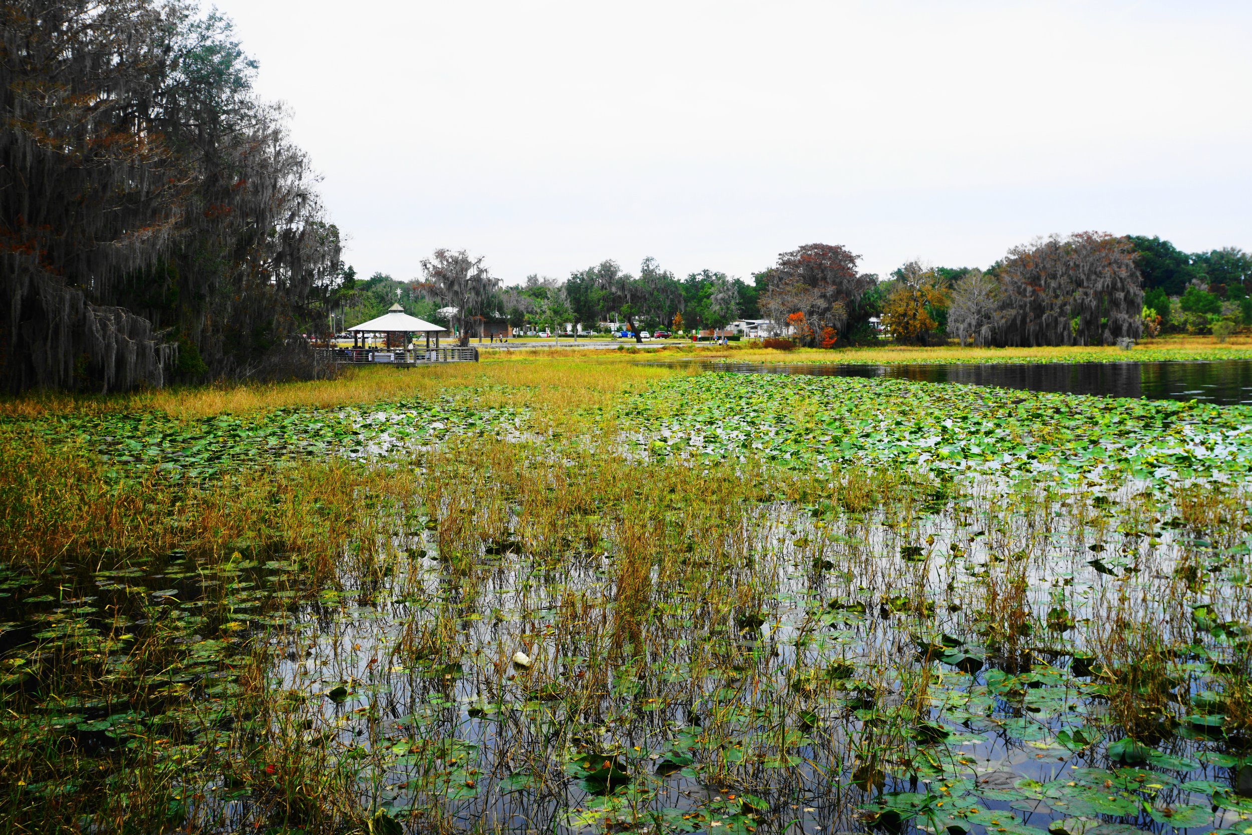
As you can see, Inverness is our favorite stop on the trail. I am not sure why the lake there is called a pond. Cooter Pond Lake to be exact. Can a body of water be both a lake and a pond?


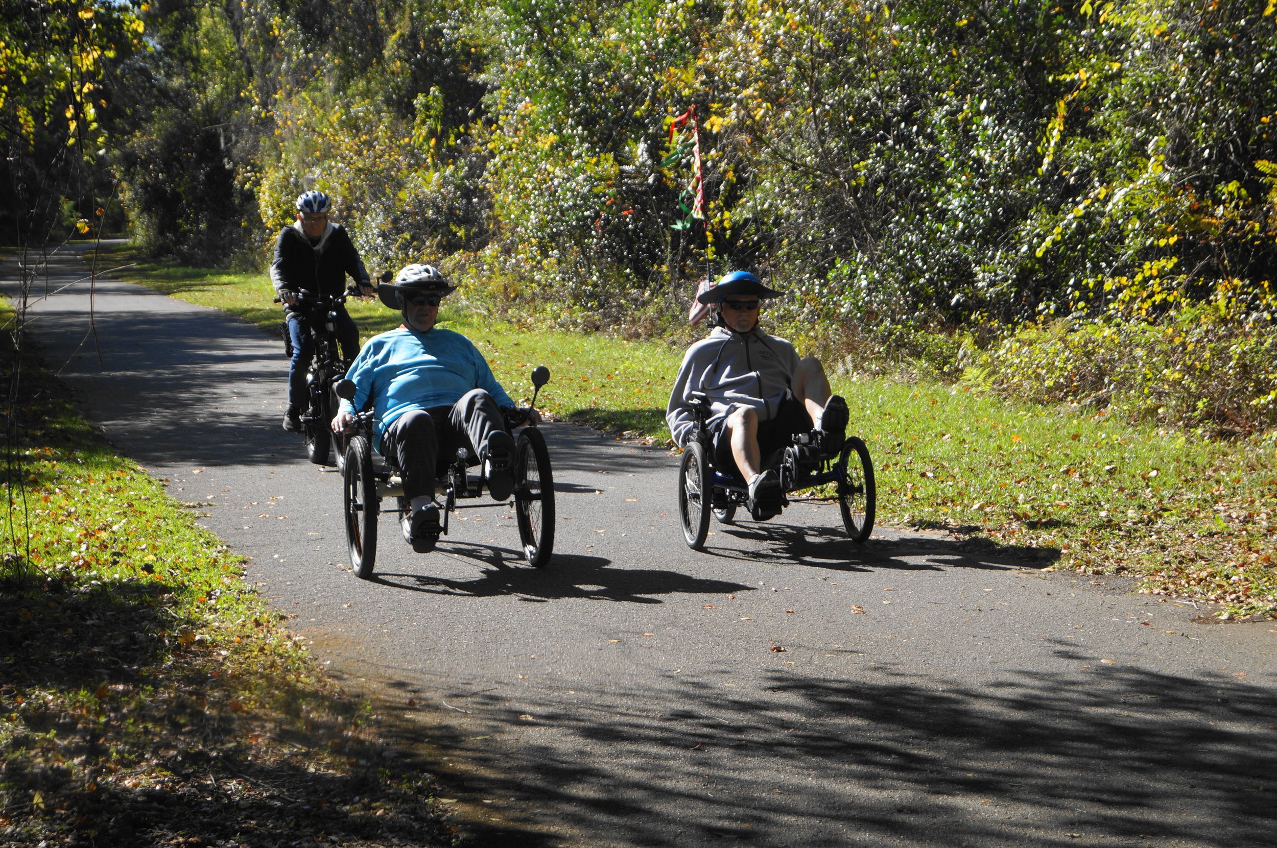
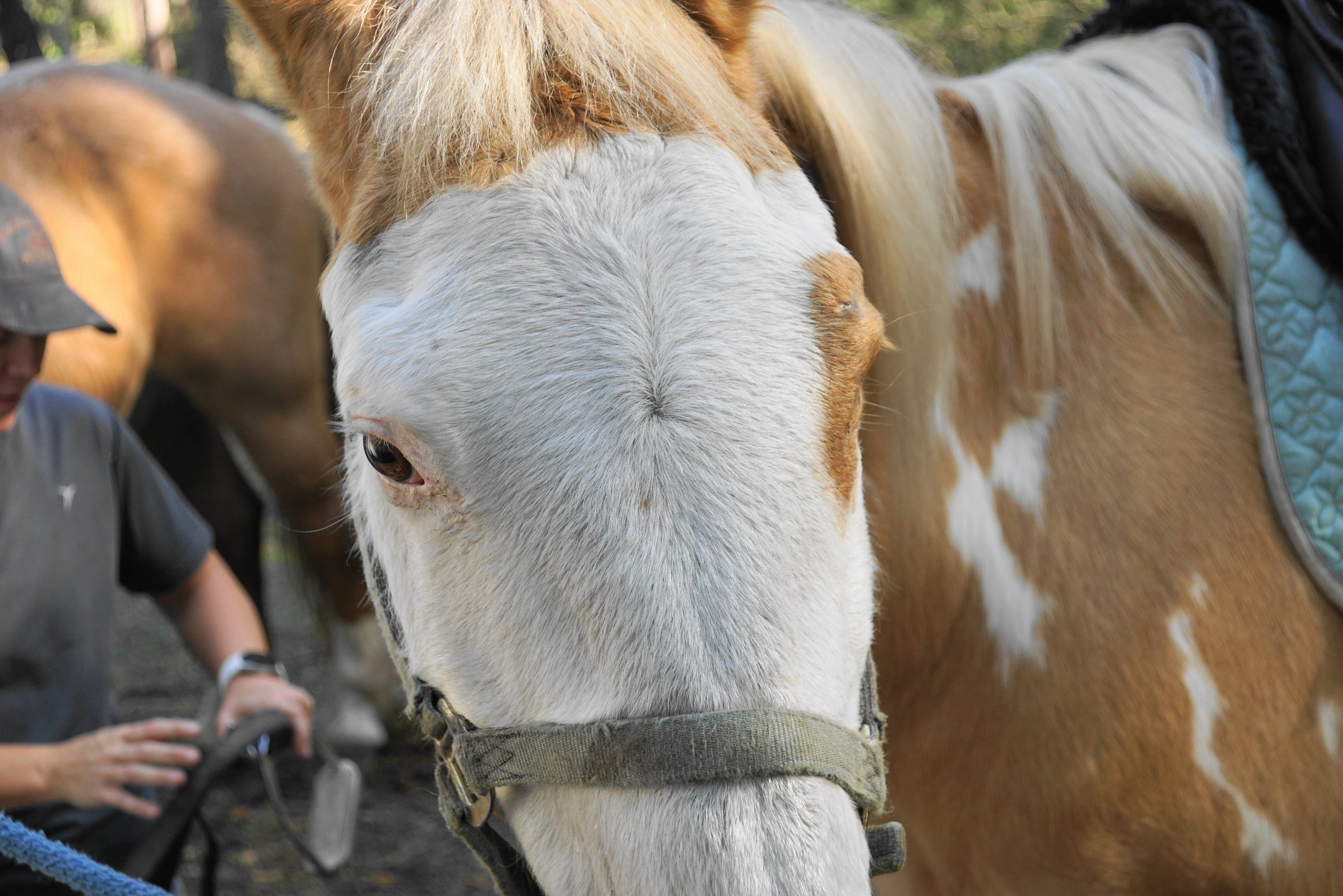
We come across many interesting folks, sights, and critters on the trail. On this ride from Lake Townsend park to one mile south of I-75 the trip started with Diane making friends with a couple of horses. I don’t remember the horses’ names. They were very calm. One was interesting. It had one blue eye and one brown, and it didn’t mind showing me both. We met a group of paraplegic riders. I had never seen hand-powered bikes before. The group rides most every Sunday from the Good Neighbor end of the Trail. I figured that many were practicing for the Swamp Classic Race which was held in Micanopy, Florida this past February.
The goats, which we stopped to visit at the end of our ride, were as interested in me as I was in them. As soon as I pointed my camera in their direction, they came over to “baaa” at me.


Our longest ride on the WRT was 21 miles round trip. That is our record so far for any ride on any trail. We rode from Croom Mountain Park (A mountain, really? I didn’t see a mountain) south through Trilby and the end of the trail at Owensboro. Not a very exciting ending, not a souvenir shop anywhere, just a round parking lot. You get there, tell yourself this is the end, turn around, and go back to where you came from. The hardest part of that section is riding the bridge over 98, it is very steep, but it’s fun cruising down the other side as long as you don’t ride over a storm drain.


As I said Inverness is a great little town with shops of all kinds, and many places to eat, most seemed to be locally owned. We decided to take a trip from Floral City and spend a bit of time site seeing in Inverness, having lunch, and then riding back. That was just what we did, but we ate so much for lunch that the ride back from Inverness was a bit harder than the ride to Inverness. Our lunch was at Coach’s Eatery. Diane had a standard Rueben and Fries (we like those!) and I had the Saltwater Rueben. It is made from Codfish and it is a really good twist on Fish and Chips. We encountered a male Sand Crane, most likely protecting his partner and a nest, on the way back. I don’t think he liked having his picture taken.


A couple of weeks ago we rode from Ridge Manor north to Nobleton, a distance of 8.5 miles one way. It was a pretty easy 17-mile trip averaging 8 miles an hour. It seems we are building up our stamina, our trips are much longer and faster than the ones we made last summer. Then riding on a “mostly” flat trail helps in that regard I guess.
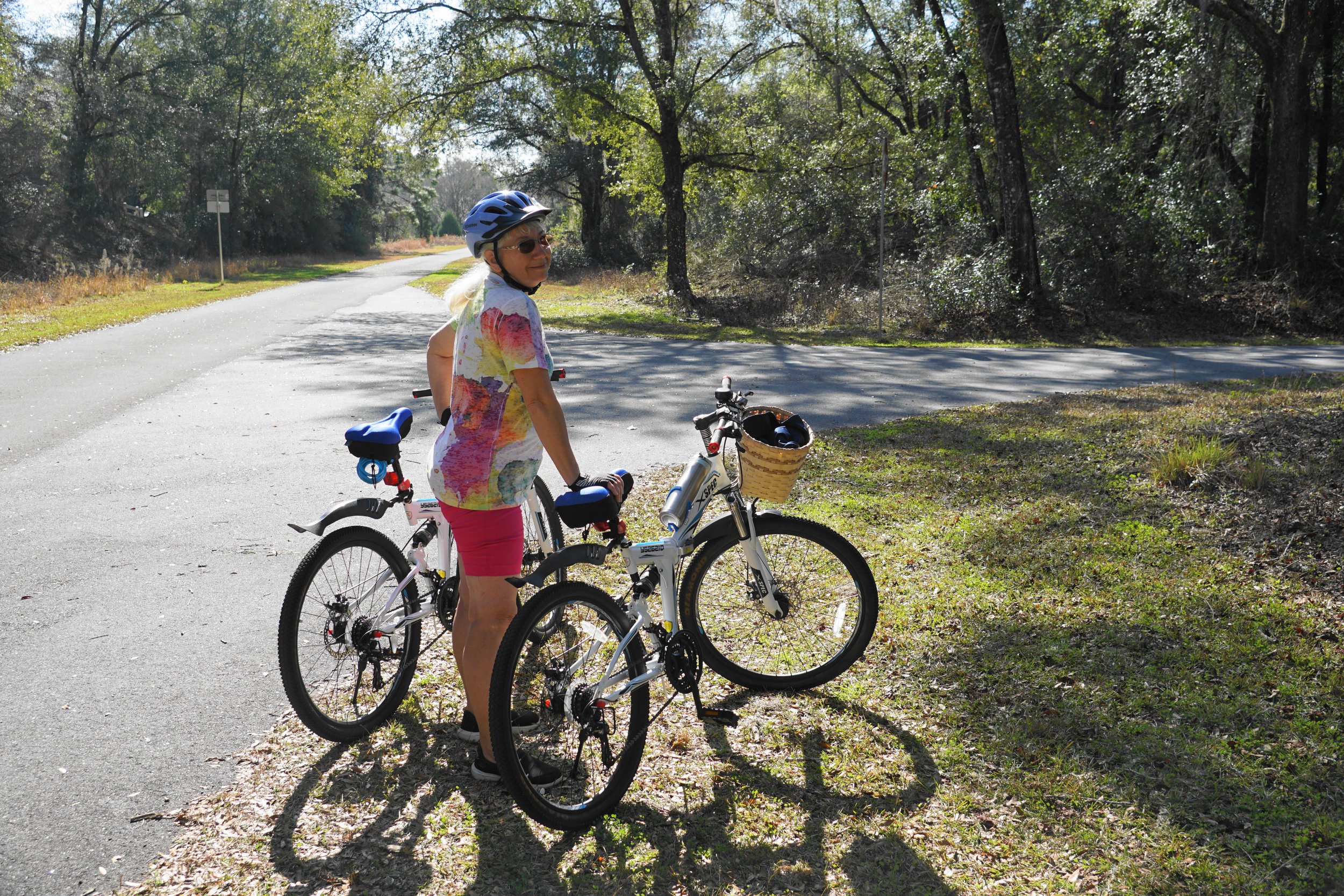
Our last trip so far this year was from the Floral City Library parking lot to Lake Townsend, around 19 miles round trip. We met some Friends of Belle Parc in their carriage on the way back from the lake. The lake looked so inviting, Diane and I came back a couple of days later with our kayak and hit the water for about two hours. It is odd, our Kayak and our bikes have the same color scheme. I wonder why that is? I will try to answer that question later.
So this concludes my review of our very good Xspec Moutain Bikes and all the trails we have been on so far. Let me close with a couple, make that three, pieces of advice:
Always announce when you are passing a rider, it won’t take much breath or hurt you to say “Passing on the Left!”
Move single file anytime you are passing or being passed by riders, makes no direction which way they are coming from.
Remember pieces of advice 1, and 2, the accident you could prevent by following those two rules of the trail could be your own.
You will see a couple of map images. They are screenshots of the Free Under Armor Ap that Diane uses to track our bike trips and our Kayak trips. It is very helpful, tracks and calls out our mileage, and our last mile speed, and records the avg speed of our trip. It also tracks elevation. It is pretty cool.
I have added a map of the Withlacoochee Rail to Trail for you to take a look at, it is at the bottom of this post. Happy Riding!
Derrick.


Click the map for more information about the Withlacoochee Rail Trail and to download a copy of the map and rules of the road.
